Please fill in your name

Mobile phone format error

Please enter the telephone

Please enter your company name

Please enter your company email

Please enter the data requirement

Successful submission! Thank you for your support.

Format error, Please fill in again

Confirm

The data requirement cannot be less than 5 words and cannot be pure numbers

Types of Street View Data

Nexdata supports street view data collection with multiple road scenes, multiple lights, and multiple road conditions, and provides labeling services such as lane line labeling, traffic sign labeling, obstacle labeling, parking area labeling, and pixel-level semantic segmentation.

Street View Data Collection

Street View Data Collection

Parking Space Data Collection

Parking Space Data Collection

Lane Line Annotation

Lane Line Annotation

Traffic Sign Annotation

Traffic Sign Annotation

Obstacle Annotation

Obstacle Annotation

Parking Area Annotation

Parking Area Annotation

Drivable Area Annotation

Drivable Area Annotation

Pixel-level Semantic Segmentation

Pixel-level Semantic Segmentation

Street View Data Annotation

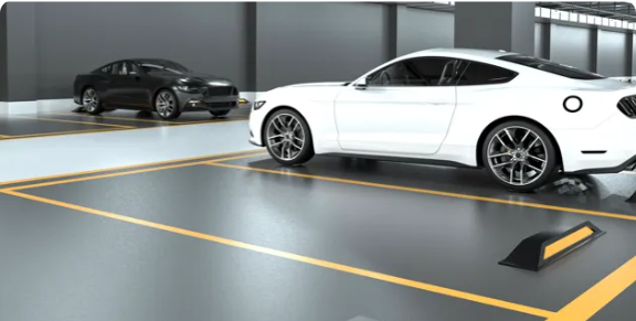
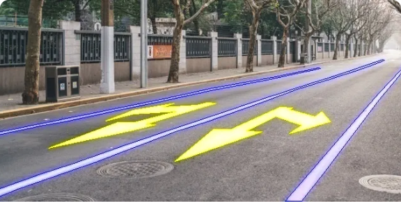
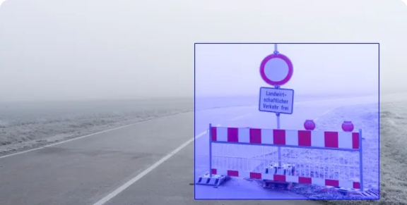
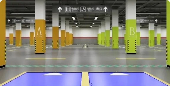
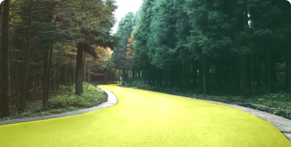
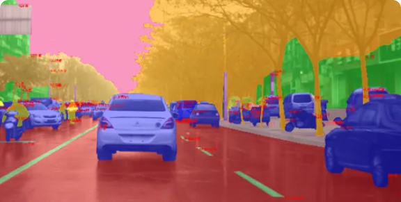
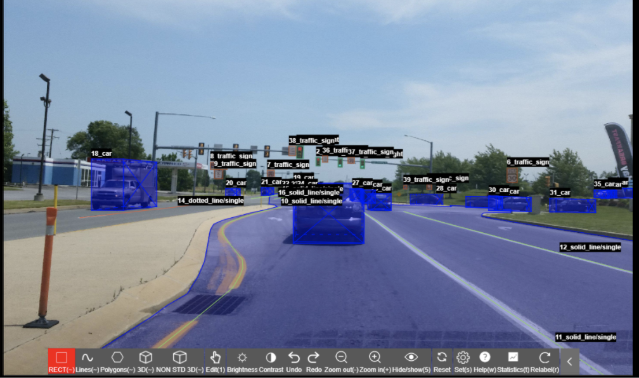
Street View Data Annotation Capability

Our platform supports image, video, point cloud data labeling
of street view scene and has built-in human-computer
interaction semi-automatic labeling and quality inspection
functions, increasing labeling efficency by over 30% per
annotator.

Street View Data Quality
and Security Management

Efficiency

Efficiency

Human-machine
collaboration

Quality Inspection

Quality
Inspection

Multi-round quality
inspection process

ISO9001 Certification

ISO9001
Certification

High Quality with ISO9001
Certified Process

Compliance

Compliance

Consent with proper
authorization

Security

Security

Obtained ISO27701,
ISO27001 certification

Safe Implementation

Safe
Implementation

NDA Guaranteed, Data
destroyed upon delivery

Nexdata also provides off-the-shelf datasets
for rapid AI model optimization.

f3caf400-d054-4921-9f1a-137627c26b5c